Empowering Decision-Making Through Data Visualization and GIS

We recognize the transformative potential of Geographic Information Systems (GIS) and advanced visualization techniques in revolutionizing decision-making processes across industries.
Get Started

Empowering Decision-Making Through Data Visualization and GIS

We recognize the transformative potential of Geographic Information Systems (GIS) and advanced visualization techniques in revolutionizing decision-making processes across industries.
Get Started

Make informed decisions, drive operational efficiency, and achieve strategic objectives.

Our GIS and Visualization solutions are built on the foundation of cutting-edge technologies and innovative methodologies, allowing organizations to leverage the full potential of their data assets. By integrating GIS capabilities with advanced visualization techniques, we empower businesses to gain a deeper understanding of their spatial data and extract valuable insights that drive business growth.

From urban planning and infrastructure development to environmental monitoring and disaster management, our GIS solutions cater to a wide range of applications, helping organizations across sectors optimize resource allocation, enhance operational efficiency, and mitigate risks effectively.

Our digital experience solutions encompass a wide range of components

Our extensive range of innovative solutions is meticulously crafted to elevate your digital experiences to new heights and foster meaningful engagement with your target audience.
Spatial Data Analysis

Our GIS experts specialize in performing spatial data analysis, allowing organizations to uncover patterns, trends, and relationships within their geospatial datasets. Whether it's analyzing demographic trends, identifying market opportunities, or assessing environmental risks, our spatial analysis capabilities enable organizations to derive meaningful insights from their data.

Data Visualization

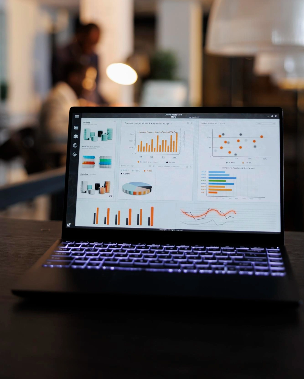
We leverage advanced visualization techniques to transform complex spatial data into intuitive visualizations that are easy to interpret and analyze. By creating interactive maps, dashboards, and 3D visualizations, we enable organizations to communicate insights effectively and drive data-driven decision-making across all levels of the organization.

GIS Integration

Our GIS solutions are seamlessly integrated with existing business systems and workflows, ensuring seamless data interoperability and compatibility. Whether it's integrating GIS with enterprise resource planning (ERP) systems or customer relationship management (CRM) platforms, we enable organizations to harness the power of GIS across their entire ecosystem.

Decision Support Systems

We develop custom decision support systems (DSS) that leverage GIS capabilities to provide decision-makers with real-time insights and predictive analytics. By combining spatial analysis with machine learning algorithms, we enable organizations to make informed decisions and drive strategic initiatives with confidence.

Real-World Applications:

At Steigen Synergy, we are committed to empowering organizations with the tools and technologies they need to unlock the full potential of their spatial data assets. Whether you're looking to optimize resource allocation, enhance operational efficiency, or drive strategic decision-making, our GIS and Visualization solutions are tailored to meet your unique needs and objectives.

Our GIS and Visualization solutions have been successfully deployed across various industries, including:
  • Municipal Governance: Streamlining urban planning, infrastructure development, and public service delivery through spatial analysis and visualization.
  • Environmental Monitoring: Assessing environmental risks, tracking pollution levels, and managing natural resources effectively through GIS-based monitoring systems.
  • Disaster Management: Improving emergency response planning, disaster preparedness, and risk mitigation strategies through real-time spatial analysis and visualization.

Frequently Asked Questions (FAQs)

We now have an FAQ list that we hope will help you answer some of the most common ones.

1. What is GIS, and how does it benefit organizations?

Geographic Information Systems (GIS) are powerful tools for capturing, storing, analyzing, and visualizing spatial data. Organizations can leverage GIS to gain insights into geographical patterns, make informed decisions, optimize resource allocation, and enhance operational efficiency across various domains.

2. How can GIS and Visualization solutions help my organization?

Our GIS and Visualization solutions enable organizations to unlock the full potential of their spatial data assets. By leveraging advanced GIS capabilities and visualization techniques, businesses can gain deeper insights, streamline decision-making processes, and drive strategic initiatives with confidence.

3. What industries can benefit from GIS and Visualization services?

GIS and Visualization solutions are versatile and can be applied across various industries, including urban planning, environmental management, disaster response, transportation, healthcare, retail, agriculture, and more. Any organization that deals with spatial data can benefit from GIS and Visualization services.

4. What types of spatial data can be analyzed and visualized using GIS?

GIS can handle a wide range of spatial data, including geographical features, terrain elevation, population demographics, land use/land cover, environmental factors (such as pollution levels and climate data), transportation networks, infrastructure assets, and more. Virtually any type of data that has a geographic component can be analyzed and visualized using GIS.

5. How are GIS and Visualization solutions customized to meet specific business needs?

At Steigen Synergy, we understand that every organization has unique requirements and objectives. That’s why we offer tailored GIS and Visualization solutions that are designed to address the specific challenges and opportunities of each client. Our team works closely with clients to understand their goals, workflows, and data requirements, ensuring that the solutions we deliver are aligned with their business objectives.

6. Can GIS and Visualization solutions integrate with existing business systems and workflows?

Yes, our GIS and Visualization solutions are designed to seamlessly integrate with existing business systems and workflows. Whether it’s integrating GIS with enterprise resource planning (ERP) systems, customer relationship management (CRM) platforms, or asset management systems, we ensure that our solutions complement and enhance your existing infrastructure.

7. How do GIS and Visualization solutions contribute to better decision-making?

GIS and Visualization solutions provide decision-makers with access to real-time spatial insights and predictive analytics, enabling them to make informed decisions quickly and effectively. By visualizing complex spatial data in intuitive formats, our solutions empower decision-makers to identify patterns, trends, and correlations that may not be apparent in traditional tabular data formats.

Get Real Recommendations and Custom Solutions

Talk To Our Experts

Contact Us

Give us a call or fill in the form below and we will contact you. We endeavor to answer all inquiries within 24 hours on business days.